Lang: Road closures from flooding to continue into Friday
Published 5:28 pm Thursday, September 22, 2016
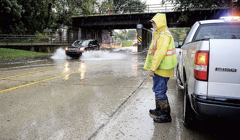
Road closures will continue around Austin at least into Friday after 3 to 4 inches of rain caused flooding overnight, and Austin Public Works Director Steven Lang said about 10 to 15 roads were closed around town as of around 4:15 p.m. Thursday.
After several past flood events, Lang said most people are used to flooding. But he urged people not to go out sight-seeing because crews will need to be getting around town and there’s limited access due to the closed roads.
“The main thing during a flood event is for people to be patient,” Lang said.
With closed roads, open roads like Eighth Avenue and 11th Street Northeast were backing up due to the added traffic.
Like most flood events in Austin, Lang said the flooding after Thursday night’s system went in waves starting with street flooding and some closures on Interstate 90 and on 10th Place Northeast.
Around the time those roads open up, Austin often sees the flooding move as waterways like the Cedar River and Turtle Creek rise as waters from the north drain south.
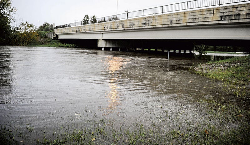
The heaviest flooding has been on Turtle Creek, which was initially projected to exceed the high water mark of 14.8 feet, but The National Weather Service now says it should crest below the record around 13.8 feet late Thursday before flood waters begin receding.
“It is lower than what they had projected, which is a positive thing,” Lang said.
The Cedar River was expected to peak around 19.8 feet tonight in Lansing and around 20.1 feet in Austin.
After the rivers crest, it typically takes another eight to 12 hours for the waters to recede and the closures to end, Lang said, so some road closures will continue into Friday.
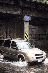
Some closures Thursday afternoon included Oakland Place Southeast near the railroad dam, Fourth Avenue Northeast near Ellis Middle School and Ninth Place Southwest near Skinner’s Hill.
Oakland Place will likely be closed into Friday, Lang said.
Lang admitted annual road projects, like work on Fourth Drive Southwest near Calvary Cemetery, caused additional complications for motorists when coupled with the flooded roads.
This flood wasn’t one Lang would call a “bucket buster” as the heaviest rains went north and to the south, but he said Austin is making good headway in its flood mitigation efforts.
“Every year we’re able to acquire a couple more homes, a couple more structures and through that process with every acquisition that we do we eliminate one person from being impacted by flooding,” he said.
Lang also noted the flood wall along North Main Street served its purpose and protected businesses. Without it, he said sandbagging would have been required near Barley’s restaurant.
“The flood wall still served a purpose today and the flood berm still served a purpose,” he said.
While some residents questioned if the flood wall could or did cause flooding downstream, Lang said that is just something skeptics will bring up during every future flood event.
He said that the city put for a lot of work through research, permitting and design with the help of the Minnesota Department of Natural Resources and Cedar River Watershed District to ensure the flood wall doesn’t cause any issues downstream.
“The north main flood control project did not adversely impact other areas around town,” he said.
The biggest factor with storm systems, Lang noted, is where the heaviest rains hit and timing. With heavier rains west toward Albert Lea, Lang said the Turtle Creek Watershed was hit a bit hard.
“Every storm is a little bit different,”
Lang said city crews will be out working overnight to monitor road closures and the city sewer systems.


