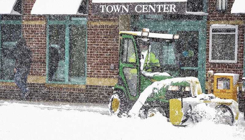
With snowfall expected, winter looks to be warmer and drier
Published 8:00 am Thursday, November 8, 2018

- Herald file photo
Winter may slowly head its way into southeast Minnesota.
Austin will see dwindling temperatures and possible chance of snow later this evening. The National Weather Service in La Crosse (NWS) predicted that there would be a 40 percent chance of snow, with a low around 21 with new snow accumulation of less than a half inch possible.
Going into Friday, there is a 50 percent chance of snowfall, with blustery winds increasing to 11 to 16 miles per hour in the afternoon, and gusts that could reach as high as 25 miles per hour. New snow accumulation could reach 1 to 2 inches.
For this time of year, Austin appears to have temperatures that are “colder than average,” according to Jeff Boyne, meteorologist for NWS in La Crosse. Usually, temperatures would be around a high of mid 40s with lows that are typically in the 20s.
However, with a potential formation of a weak El Nino storm, there may be warmer than normal temperatures projected for this winter in general, with much of the northern and western United states seeing above-average temps lasting from December through February, as well as drier conditions.
“These end up resulting in winters that tend to be more favorable for warmer than normal winters,” Boyne said. “There’s this cold snap right now, but it does look like the the chances of staying above normal temperatures by average of 19 degrees higher than usual.”
Predicting whether this winter looked longer or shorter than usual is also a challenge at this point. Boyne stated that with the possible El Nino, the weather tends to “weaken” going into the spring and with chances of arctic intrusions.
“We’re looking at above a 19 degree average for the season,” he said. “These tend to lead to potentially drier winters with these situations. Which trend winds up happening is the question.”


